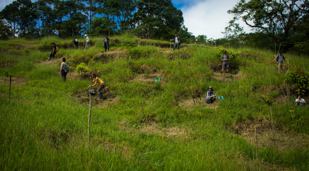
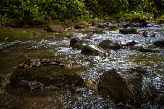
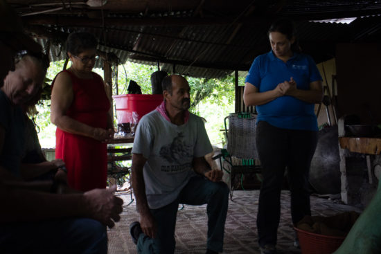
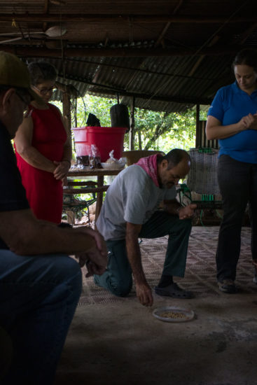
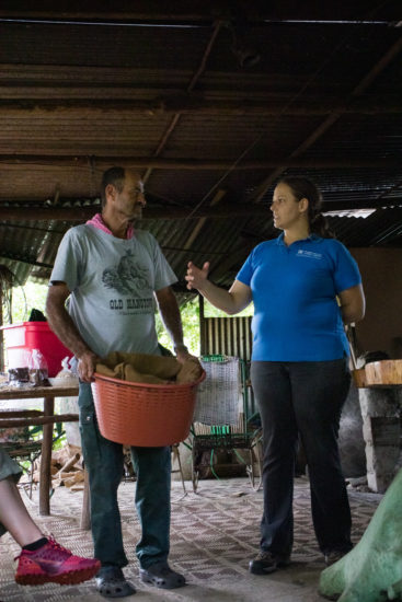
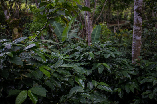
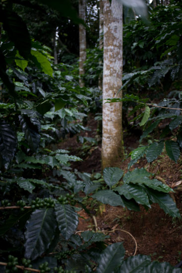
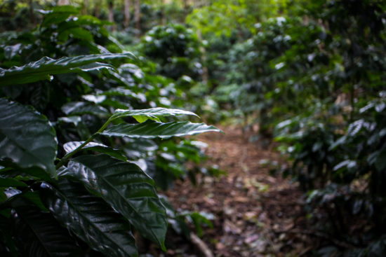
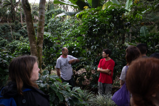
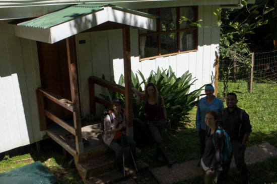
The REU group was invited to help plant some native trees in the newly acquired pasture land at Finca Cantaros.
Tag Archives: People
My students and I
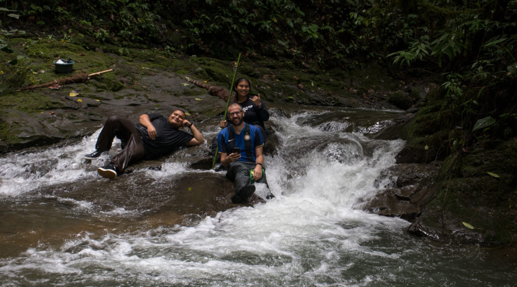
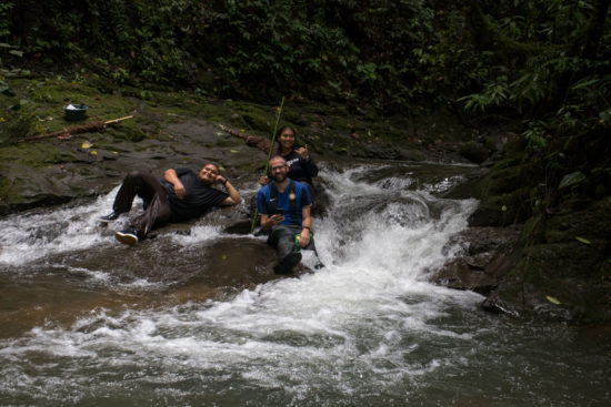
Zane, Ahmi and I pose as part of El Gente Del Río, 2019.
Introduction to Ahmi’s project – Fish communities at Las Cruces
One of my two students for this year’s LSAMP REU is sampling and documenting the fish communities within the rivers at Las Cruces as an extension of a previous student of mine’s project (David’s). David had discovered four species, Bryconamericanus terrabensis, Brachyrhaphis terrabensis, Rhamdia laticauda, and Trichomycterus striatus, and he had presented his work at AFS. Interestingly, at Bry. terrabensis and T. striatus, have not been reported as occurring above 1,000 meter above sea level in the literature, and he thought this could be due to (1) undersampling and reporting and/or (2) recent changes in the distribution of these fishes, possibly due to climate change. One way to find out—continued monitoring. And, hence, Ahmi’s interest.
Ahmi may be employing three survey methods (visual surveys via snorkeling, seining, and minnow trapping) and sample along the entire elevational gradient within the Las Cruces property (1,000 – 1,400 masl).
Here, Ahmi practices visual surveys—a 5-10 minute zig-zag, calling out letters that represent the most likely fishes. The water is cool and turbid, making it difficult to complete, unlike some of the rivers, like Rio Madrígal, Rio Claro and Rio Nuevo, I surveyed using similar methods years ago on the Osa Penninsula.
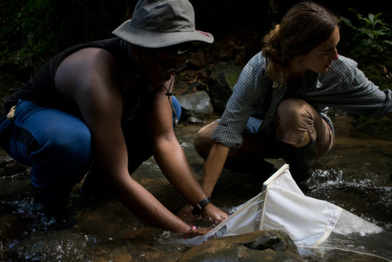
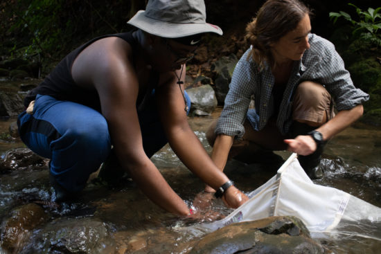
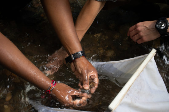
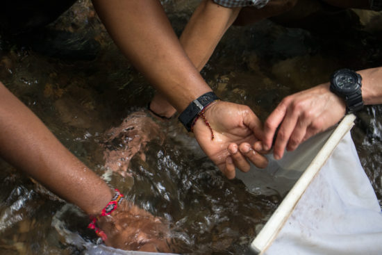
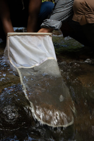
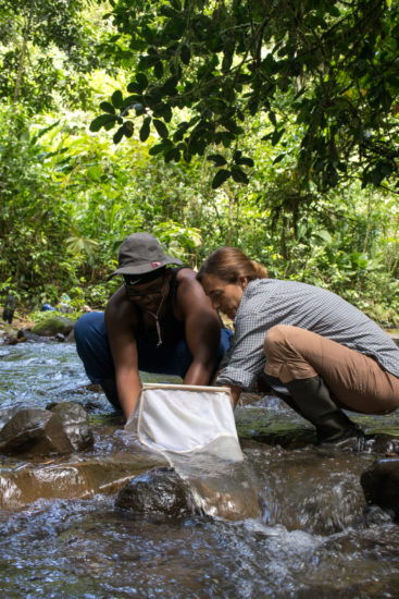
Next, Ahmi and Zane practice seining the same pool; the current and steep, slippery banks present some difficulty, but they do catch a few.
Seining is hard work!
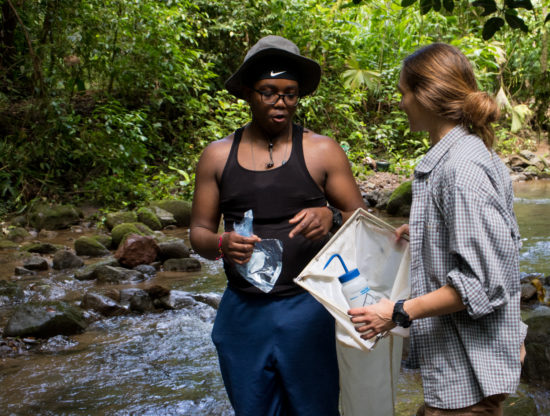
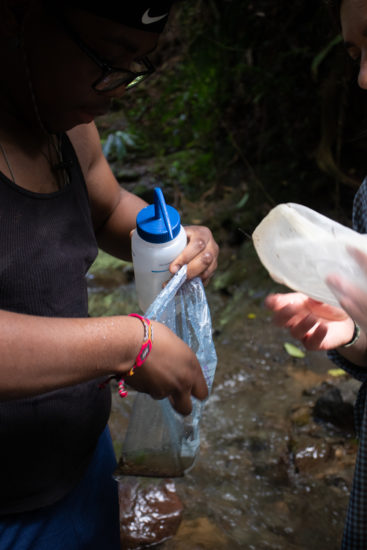
Some catch from the sample, including Bry. terrabensis.
High-flow at Río Java and group photo!
The beginning of June was wet—it rained nearly every day—and the river was often turbid and high. This was our first visit to the river of 2019.
First hike to San Vito
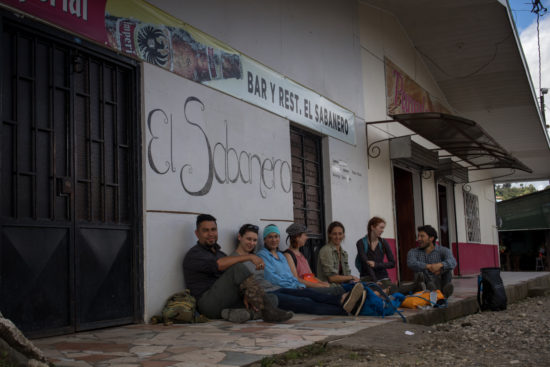
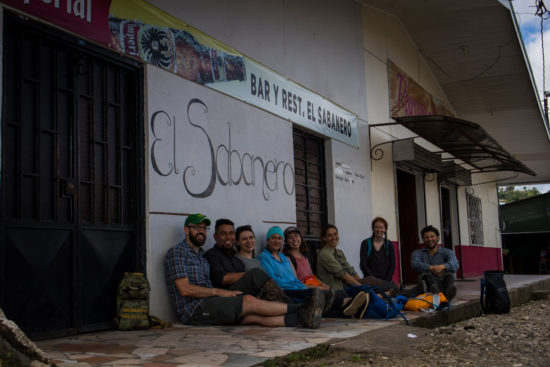
Most Sundays, the research mentors and I hike to San Vito for ceviche and patacones at El Sabanero—a seafood restaurant about 7 km (4 mi) from the station through the forest. Here are some images from the first hike to town.
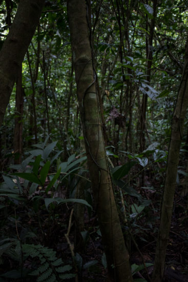
Dark, green primary forest 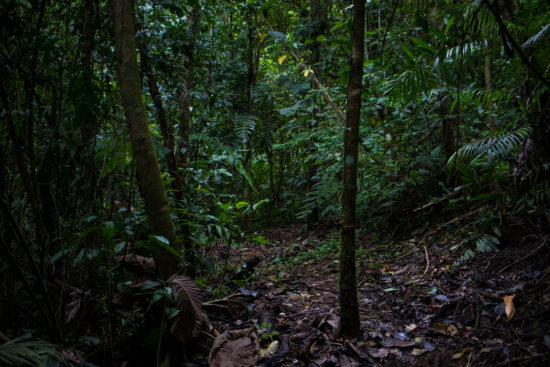
Dark, green primary forest 
Waterfall below Melissa trail crossing. 
Waterfall below Melissa trail crossing. 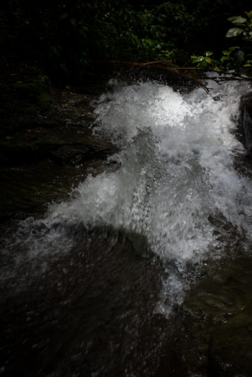
Waterfall below Melissa trail crossing.
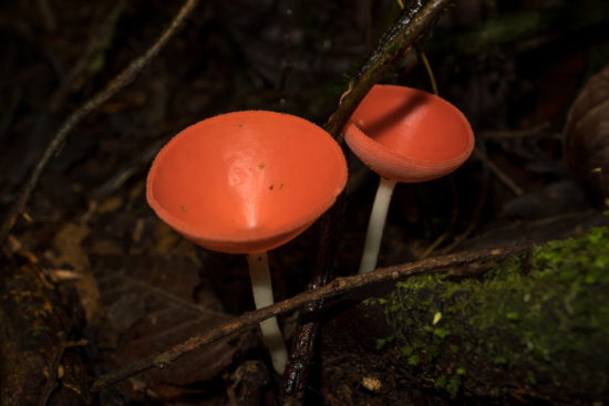
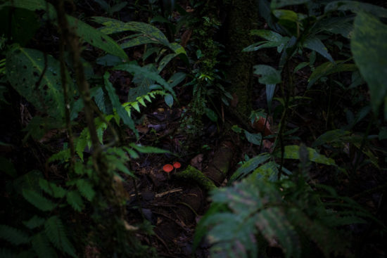
Some cup fungus—ascomycota.
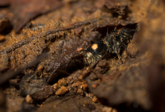
Cristian pointed out that this wingless wasp is able to deliver a strong sting and is likely mimicked by the Spotted Tiger Beetle.
Sadly, when we arrived in San Vito, we discovered that El Sabanero’s scheduled had changed—previously, it opened by 11 or 12 (approximately…) on Sundays. Now, the restaurant opens at 3, which is a bit late for a bunch of hungry biologists who eat breakfast at 6:30 am. We tried another restaurant in town, but it wasn’t quite as good—the ceviche was fine, but the traffic was loud and produced some less-than-pleasant fumes.
Land-use impacts on macroinvertebrate predators
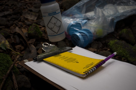
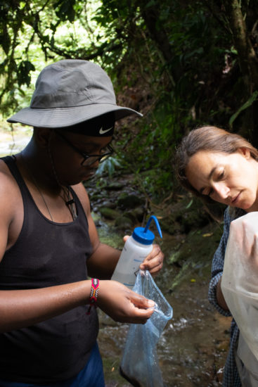
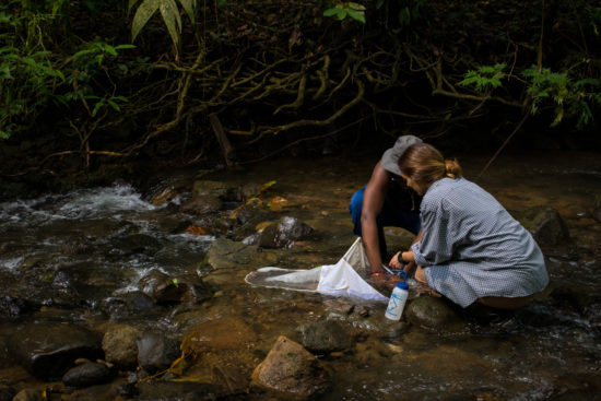
Darryl, one of the students mentored by Patricia, sampled his first macroinvertebates yesterday using a Surber sampler. He’s interested in functional feeding groups—groups of organisms that are categorized with one another based on what they do in the stream (their role)—and how the composition of those groups may differ with the land-use of the stream catchment. There’s a lot of literature on this, and the predictions are related to the river continuum concept—a set of theories about how the ecology of rivers changed from up- to downstream. Jacklyn, a former student of mine in the NAPIRE program, investigated the RCC.
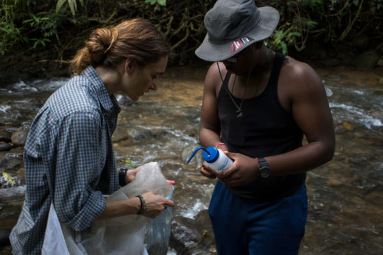
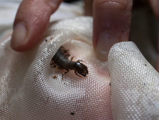
Darryl is particularly interested in the predator functional feeding group, of which there are many: from Naucorids and Belastomatids, to some mayflies and megalopterans. Here, Darryl and Patricia take a few stream samples.
Shade-grown Coffee farm
We visited Don Roberto’s shade-grown coffee farm recently and learned a bit about the process and economics of coffee farming in Costa Rica. Don Roberto and his wife own a farm in Aqua Buena, a town a few kilometers south of San Vito and the Las Cruces Biological Station, where they grow, process, and even roast coffee using sustainable techniques. They kindly discussed their farm and coffee production with us one afternoon.
Don Roberto explained the growing, planting and harvesting of coffee, and Amanda, the station director of Las Cruces, translated.
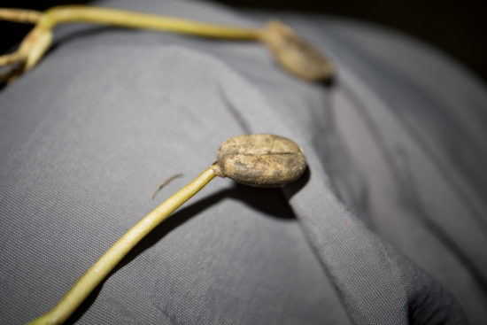
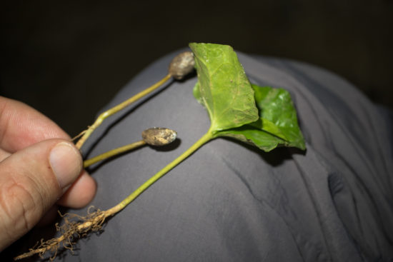
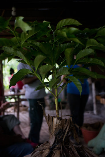
The bean sprouts and produces leaves in a few weeks, usually in a greenhouse-like setting. The sprout is allowed to grow for about a year before planting in the farm.
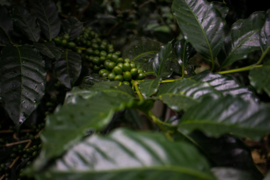
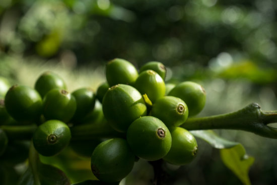
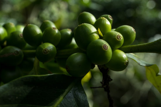
t will produce its first set of harvestable fruits after about 3-4 years; the fruits, when ripe, are red and contain a small amount of flesh surrounding a husk, and, in the center, the coffee bean.
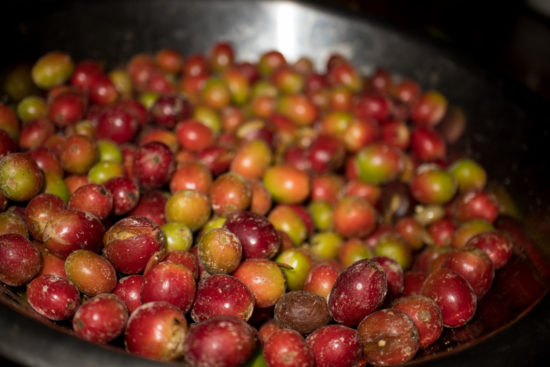
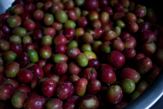
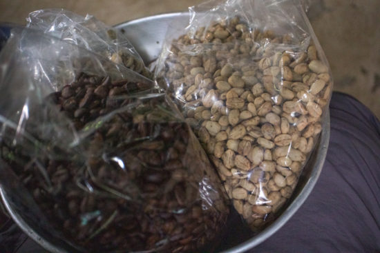
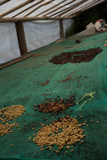
Some roasted beans and seeds surrounded by a husk. The husk must be removed before roasting, and they look quite a bit smaller—there is a third bag towards the back left.
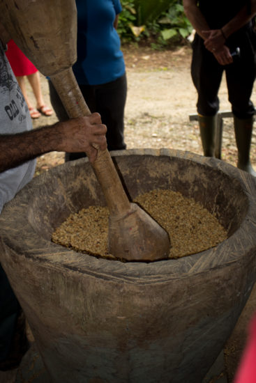
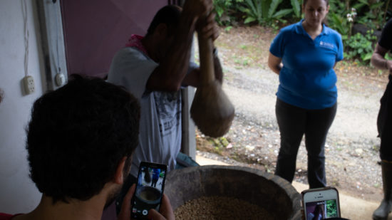
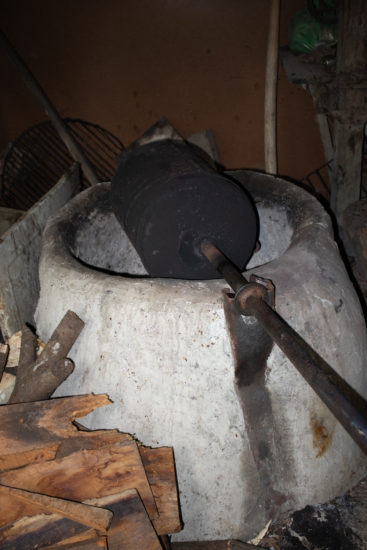
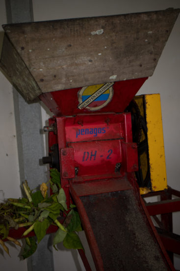
The fruit can be dried or immediately removed using the red machine, but the husk must be removed by hand—Don Roberto demonstrates the process, which he’ll do for eight hours during a harvest and involves smashing away the husk with a large pestle. The husks are separated and used as compost and fertilizer. Don Roberto also roasts in an iron barrel—quite a bit different from the roasting process I’ve seen in Savannah’s Perc Coffee Roastery.
Coffee plants are attacked by a variety of herbivores—there is a weevil that directly consumes the bean, for instance—and fungi. Don Roberto uses natural remedies to combat pests, but he didn’t elaborate precisely how. Importantly, when selling his coffee, there is no distinction between his more-or-less organic source and conventional sources in the co-op—beans are not purchased from him or other farmers at rates that vary with farming methods, so, if his methods produced lower yield, but are more sustainable, he sees no monetary benefit. He feels passionate about protecting his farm and area conservation, so he attempts to farm in this way.
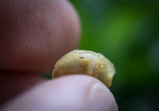
A maggot in the fruit 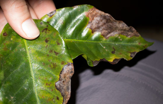
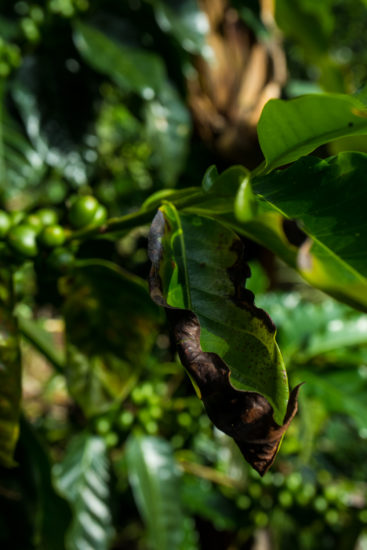
Fungal damage 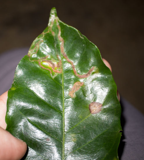
Leaf miners 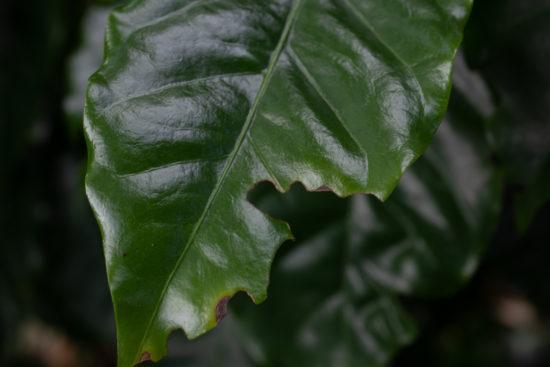
Herbivory 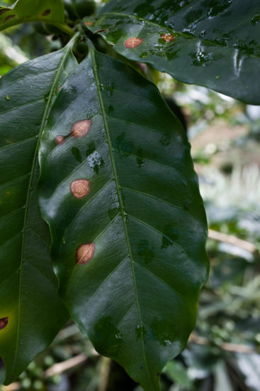
Ojo de gallo 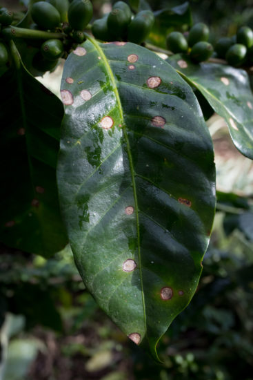
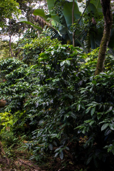
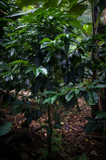
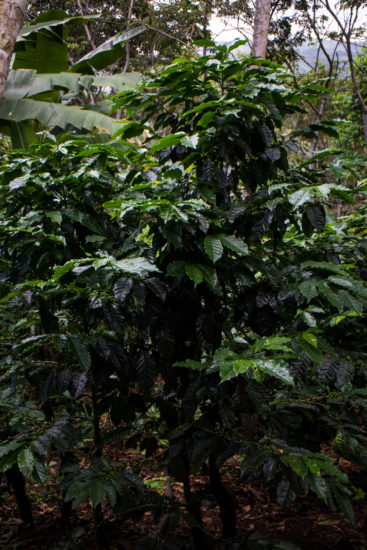
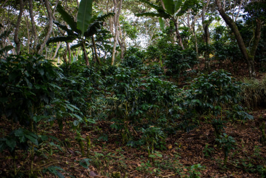
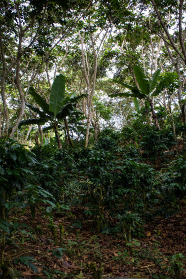
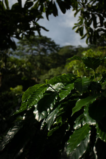
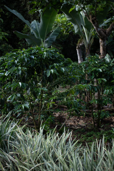
Don Roberto’s farm is beautiful; it’s nested in the hills and shaded by a variety of native and fruit trees, which contribute to biodiversity and pest control (e.g., we saw a scaled pigeon on the walk through the farm). The land had previously been pasture used for grazing cattle, but about 40 years ago, Don Roberto and his wife began transforming it into the coffee plantation. He is constantly improving it and educating people about coffee farming and sustainable practices.
The Snook’s Nose Saga
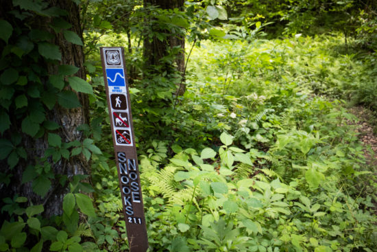
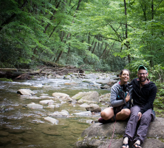
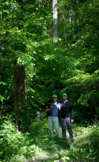
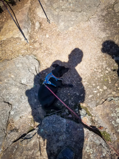
In June of 2017, Nicole, Amos and I stayed a couple of nights at Curtis Creek Campground in Pisgah National Forest, outside of Asheville, NC. On the morning of our first night, we decided to attempt to reach the Blue Ridge Parkway via Snook’s Nose Trail, which, reportedly, was about 1.5 miles to the ridge of Snook’s Nose and another 1.5 miles to the parkway.
About 1.6 miles in, we gave up. The trail, while marked as “more difficult” was quite strenuous and when we reviewed the topographic map, we realized that we had made little progress. We vowed to attempt again.
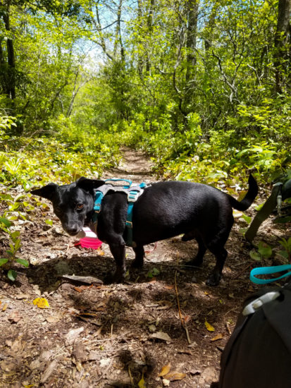
This May (2019), we attempted again. And succeeded. But it wasn’t without some struggle.
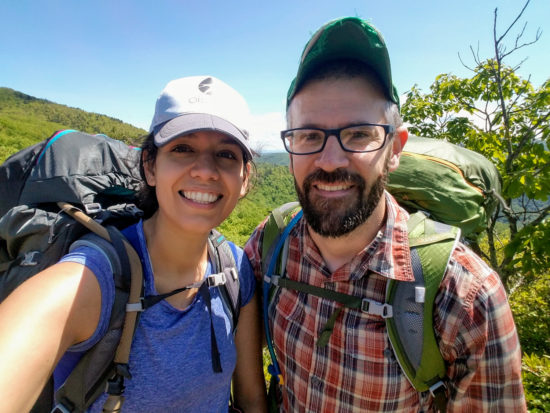
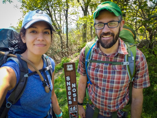
We arrived Monday afternoon from Savannah, set up camp and enjoyed some freshly made buttery mash potatoes and a sautéed mix of tuna, carrot, and onion. In the cool morning, we took some selfies to document our expected decline.
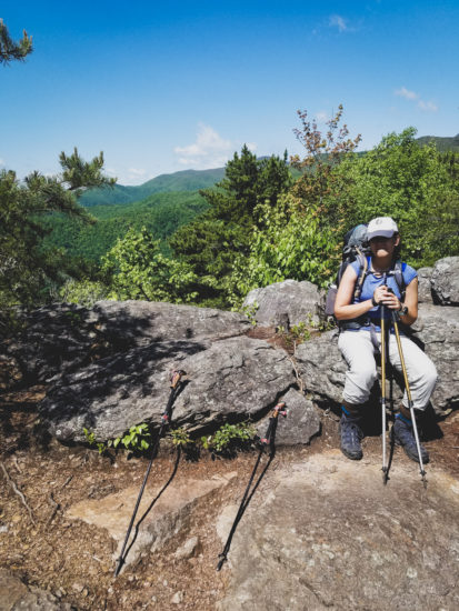
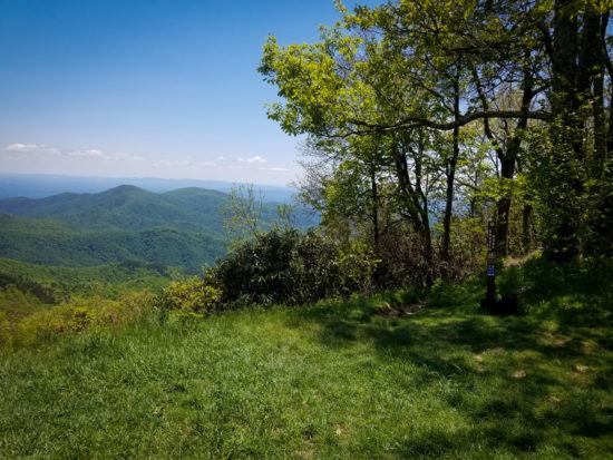
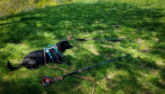
We pushed through the cardiovascularly intensive first 2 miles of the trail, ascending from 2,000 ft to about 4,000 ft, to arrive at a bald on the ridge and stopped a moment to celebrate and enjoy the view. We were all tired and a bit hot—Amos pursued some man-made shade.
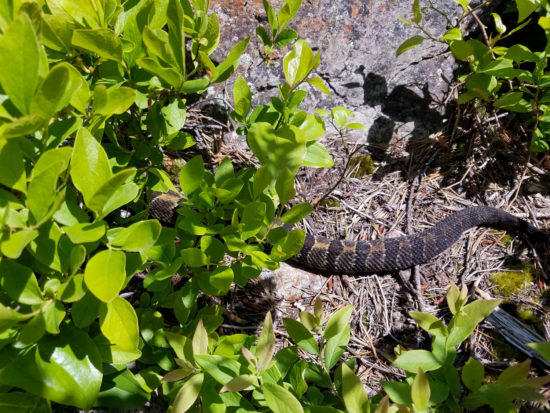
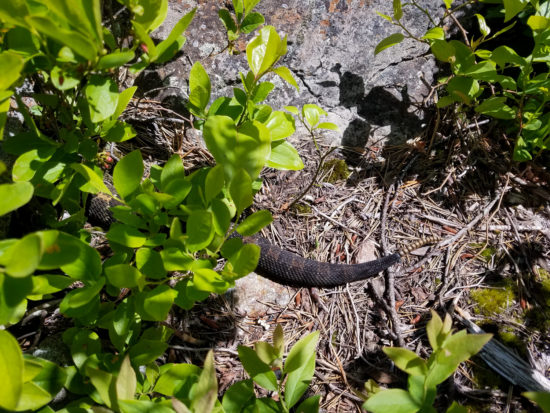
A moment after documenting our success with another selfie, Nicole pointed to the ground to my left—a large, curled, timber rattlesnake glared back at us. Presumably, this was Snook’s Nose reminding us to stay humble.
Three miles later and another 700 ft, we reached the Blue Ridge Parkway, noting that the Snook’s Nose Trailhead claimed a total length of 3.9 miles and that my GPS track reported 5 miles. We took a breath, a selfie, had some lunch, and discussed what to do next. Nicole had developed a pretty nasty blister, and the map suggested we were about half way to our original goal—Black Mountain Campground north of the parkway back down to 3,000 ft, which required another 500 ft of climbing (300 ft to the peak of Green Knob at about 5,075 ft then a few ascents along the ridge). The other option was to go back down Snook’s Nose Trail—descending 3,000 ft back to the original site but having access to the vehicle.
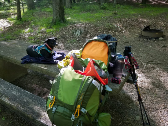
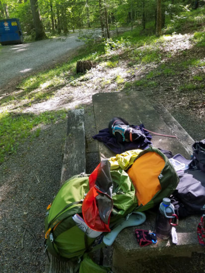
I convinced Nicole (and probably forced Amos) to head on to Black Mountain Campground; they have showers (and we later found that they also have ice cream) and the map suggested there was an alternative, less steep route along some forest service roads. We arrive 3.5 miles later and Amos collapsed on the picnic table.
We hiked around the campground and enjoyed some relaxing riverside reading and napping the next day. After the second night, on Thursday Morning, we set out along Neal’s Creek Road for the Blue Ridge Parkway, crossed, and headed down Curtis Creek Road. While the return was certainly less impactful on the joints and cut out about 1,000 ft from the highest point, it was likely a little longer at about 9.5 miles. The last mile was quite sunny, hot, and the road was covered in sharp gravel, giving Amos a hard time. We also saw a black bear along the way!

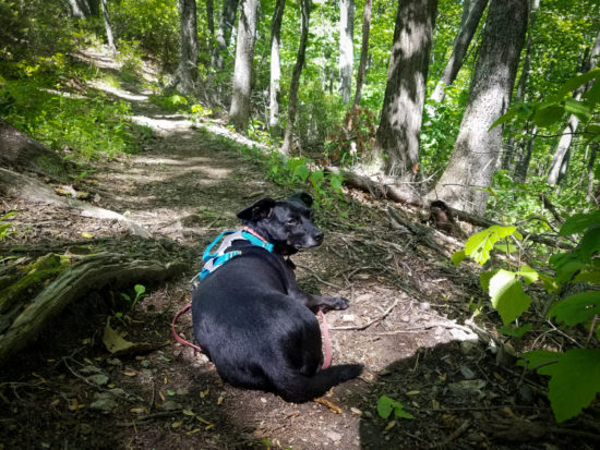
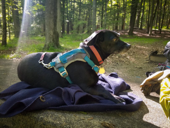
We arrived back at Curtis Creek Campground in the late afternoon on Thursday, ate, and relaxed in some comfortable seats/hammocks. We congratulated ourselves for conquering Snook’s Nose and took a final selfie… but, in the end, Snook’s Nose had one last thing to say: don’t forget to shut your damn car door—it’ll kill your battery and you’ll need to be towed to Marion for a change.
Top Spur Trail
Top Spur Trail overlooking Mount Hood with Jenn and Jamie back in 2012.
Mount Hood
Digging into some old, unpublished photographs, I came across a trip to Portland, Oregon, for the annual meeting of the Ecological Society of America in 2012. Jamie kindly hosted Jenn and me in her home (then did so again in 2017), and we took a trip to Top Spur Trail after the meeting’s end. Here are some landscape and panorama images from Top Spur Trail approaching Mount Hood.

