Tag Archives: Costa Rica

Frog traps

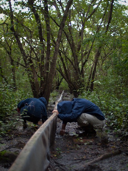
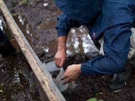
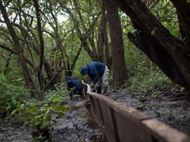
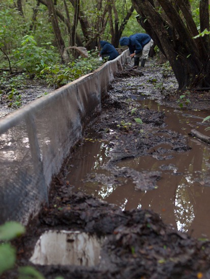
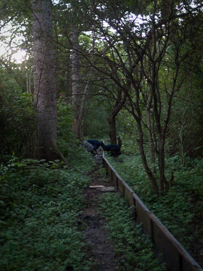
Four 120 m long frog traps have been set up for Mahmood’s amphibian survey at Palo Verde.  Nightly for two years ending in December, assistants collect, weigh, measure and count frogs that have fallen into 24 buckets buried in the ground on either side of the short fences shown below.  The physical conditions of the traps vary, particularly given flooding events, but the environmental conditions are always harsh.  The traps are set within 50 m of the wetland (at some points, like those here, they are more in the wetland), and mosquitoes have extraordinarily  high abundances.  The clouds of mosquitoes require use of full, hooded jackets to keep one’s sanity, which only emphasizes the heat and humidity of the surrounding dry forest.  The data collected from this survey, however, provide an understanding of amphibian community and population dynamics in a region threatened with looming and dramatic climate shifts. These communities are so understudied, that one of the most common toad species (Incilius luetkenii) present at the park have only recently be described and separated from sister species.

Here, Arellys and Sergio open traps for the nightly collection.  Most frogs caught at this time of year are Engystomops pustulosus (formerly known as Physalaemus pustulosus) froglets just emerging and travelling into the dark forest.
OLYMPUS DIGITAL CAMERA

OLYMPUS DIGITAL CAMERA OLYMPUS DIGITAL CAMERA

OLYMPUS DIGITAL CAMERAOLYMPUS DIGITAL CAMERA

Constructing a trail through the Thalia


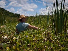
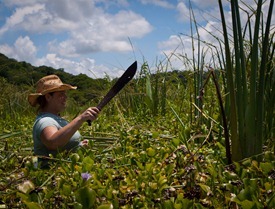
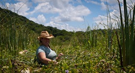
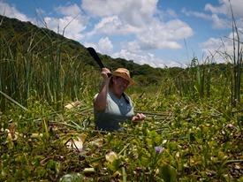
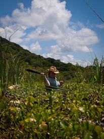
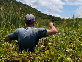
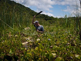
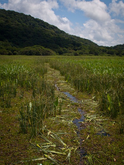
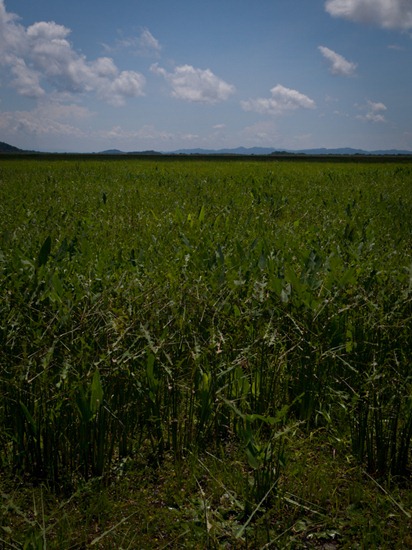
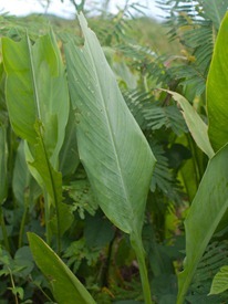
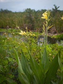
To collect some aquatic insects for stable isotopes and identification, Michelle (an IRES student at Palo Verde attempting to develop a water budget for the wetland) prepared to cut through a thick stand of Thalia.  Coincidentally, Mahmood had asked a couple of staff members to cut a trail in the same area that very day.  They left a two meter wide trail through the vegetation, which made our wade much easier but also much more boring.  So, Michelle and I pretended to have chopped the trail – Here’s Michelle’s first, excited, use of a machete. OLYMPUS DIGITAL CAMERA
OLYMPUS DIGITAL CAMERA OLYMPUS DIGITAL CAMERA


OLYMPUS DIGITAL CAMERA

Palo Verde Camping Area

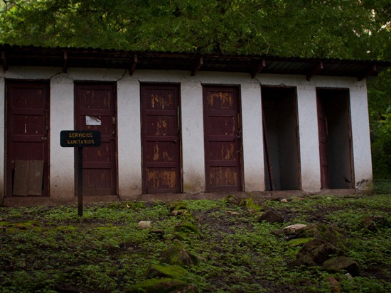
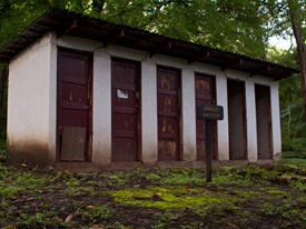
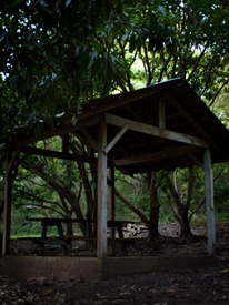
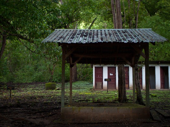
The designated camping area in the Palo Verde sector hasn’t received much maintenance in recent years.   The area is known to those who’ve been on the Kent State CR trip as a collection area for ant lions, but the lack of attention has resulted in non-functional bathrooms that give an eerie appearance.  I’ve used the roofs pictured here to escape a few downpours while walking along the adjacent road, and I don’t blame folks from staying away from the camping area – the mosquitoes can be unbearable.

OLYMPUS DIGITAL CAMERA

OLYMPUS DIGITAL CAMERA OLYMPUS DIGITAL CAMERA

OLYMPUS DIGITAL CAMERA

Reserva Biológica Hitoy Cerere

An hour and a half hike up the Hitoy Cerere River in the biological reserved named for the river, Boa and I came across the pictured waterfall spilling into the Hitoy.  The name of the river comes from a language spoken by Native Americans in Costa Rica, and I think it translates to describe the clear water and rounded rocks covering the river bed.

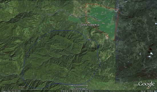
The reserve is hidden away up the mountains from Dole’s banana plantations in Valle La Estrella (see the map below) and protects part of Rio Hitoy Cerere’s watershed and most of a few other smaller tributaries draining from the north.  Guessing from experience in temperate and tropical systems, I’d estimate Hitoy to be a 5th order stream: large and open, but not reliably navigable.  Further, the river is superficially similar to that in another reserve I’ve had the opportunity to visit near San Ramón – the San Lorencito in Reserva Biológica Alberto Manuel Brenes.  The cline is certainly not as steep, and the fish assemblage is more substantial (i.e., high abundances of characids and greater fish diversity) due to the lower elevation of Hitoy, but the surrounding/riparian forests and soils are appear similar.

ANAI, a group developing biomonitoring techniques for Costa Rica water ways, has used Hitoy as a referencing point for both aquatic invertebrates and fishes.

Now… all I need is to develop a proposal examining elevational gradient effects on invertebrate and fish communities important in Costa Rican biomonitoring… then I can work in these unbelievably beautiful stream locations.

Hitoy Cerere Falls - 09.24.2010 - 13.29.09_stitch Hitoy Cerere Falls - 09.24.2010 - 13.30.15_stitch
hitoy
Google Earth map showing the rough outline of Hitoy Cerere (Blue) and some of Dole's banana plantations (Red).

Nymphea stems

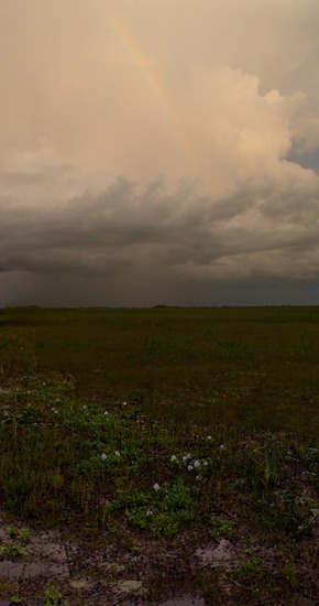
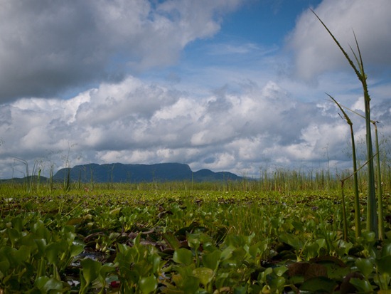
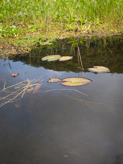
This September, the Palo Verde wetland was clear enough to easily see to the bottom where there were no macrophytes present blocking the sunlight.  This phenomenon is in sharp contrast to what is observed early in the wet season, when tannins and other darkening pigments are leached into the waters from copious amounts of decomposing organic matter and the wetland water appears almost black.

As a result, lily stems can be seen and traced to their origin.

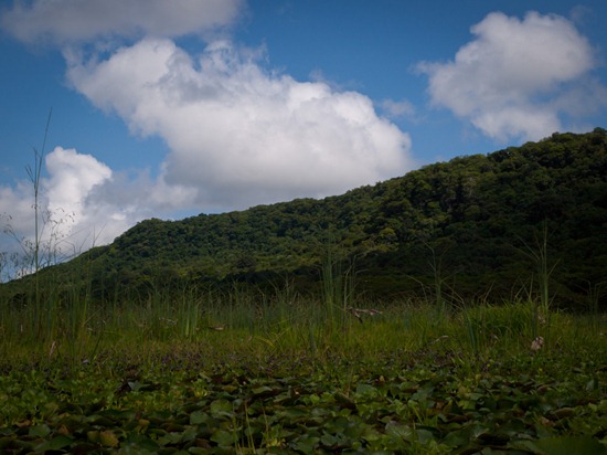
Views from El Puente - 09.16.2010 - 11.16.13