Tag Archives: Landscape

Reserva Biológica Hitoy Cerere

An hour and a half hike up the Hitoy Cerere River in the biological reserved named for the river, Boa and I came across the pictured waterfall spilling into the Hitoy.  The name of the river comes from a language spoken by Native Americans in Costa Rica, and I think it translates to describe the clear water and rounded rocks covering the river bed.

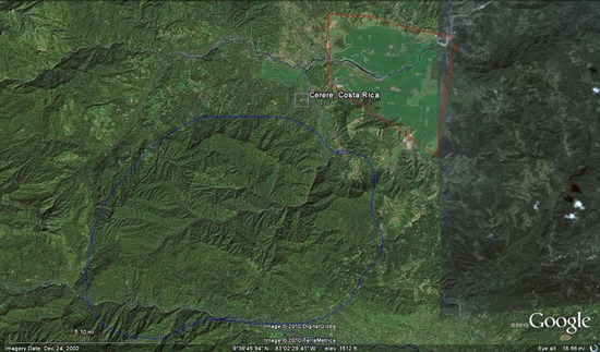
The reserve is hidden away up the mountains from Dole’s banana plantations in Valle La Estrella (see the map below) and protects part of Rio Hitoy Cerere’s watershed and most of a few other smaller tributaries draining from the north.  Guessing from experience in temperate and tropical systems, I’d estimate Hitoy to be a 5th order stream: large and open, but not reliably navigable.  Further, the river is superficially similar to that in another reserve I’ve had the opportunity to visit near San Ramón – the San Lorencito in Reserva Biológica Alberto Manuel Brenes.  The cline is certainly not as steep, and the fish assemblage is more substantial (i.e., high abundances of characids and greater fish diversity) due to the lower elevation of Hitoy, but the surrounding/riparian forests and soils are appear similar.

ANAI, a group developing biomonitoring techniques for Costa Rica water ways, has used Hitoy as a referencing point for both aquatic invertebrates and fishes.

Now… all I need is to develop a proposal examining elevational gradient effects on invertebrate and fish communities important in Costa Rican biomonitoring… then I can work in these unbelievably beautiful stream locations.

Hitoy Cerere Falls - 09.24.2010 - 13.29.09_stitch Hitoy Cerere Falls - 09.24.2010 - 13.30.15_stitch
hitoy
Google Earth map showing the rough outline of Hitoy Cerere (Blue) and some of Dole's banana plantations (Red).

Some pictures of poles

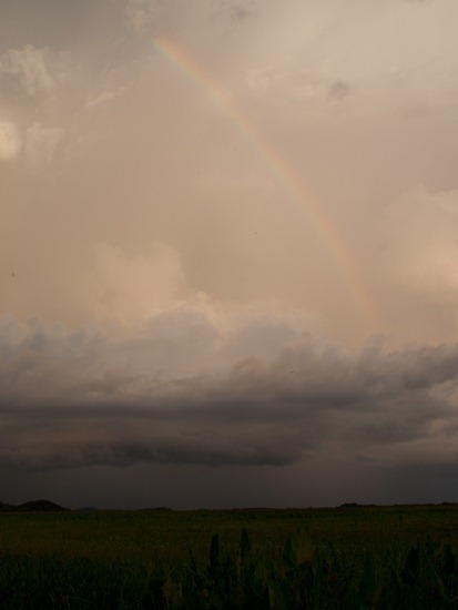
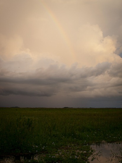
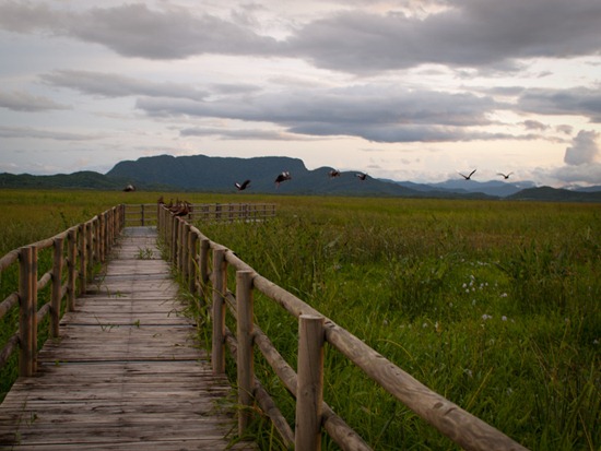
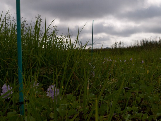
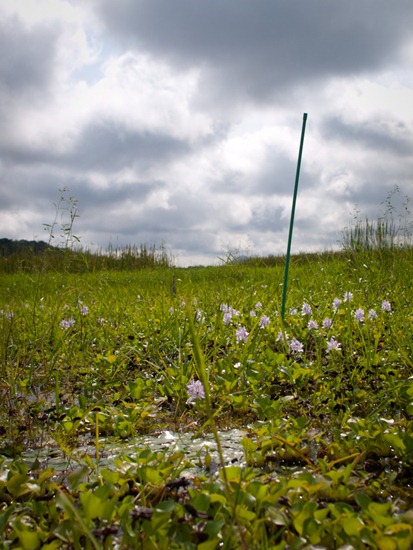
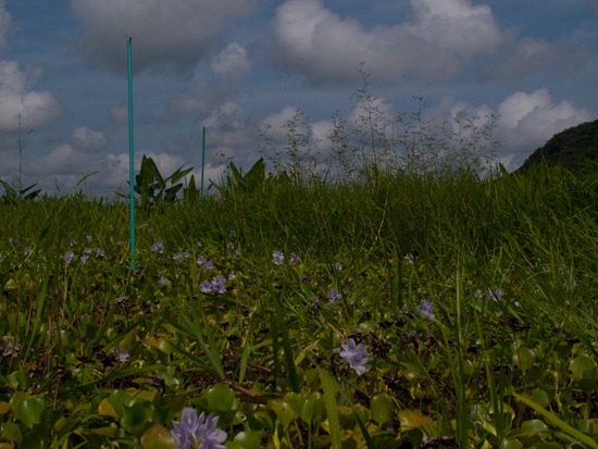
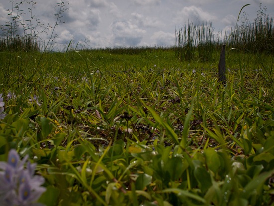
Within my fence at PV, I have several poles designating sites where my decomposition bundles were attached.  Here’s a last set of photos before I took the poles out (with the help of another IRES student, Michelle).

Notice the depth in the last photo – the wooden fence post stands about 6’ 5’’ from the wetland bottom. I’m not exactly bending down to take a photograph with the vegetation in the foreground….

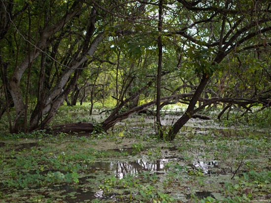
Final Diversity collection - 09.14.2010 - 10.00.02Final Diversity collection - 09.14.2010 - 10.43.02Final Diversity collection - 09.14.2010 - 11.44.19Final Diversity collection - 09.14.2010 - 11.46.38

Camping at Zaleski State Forest

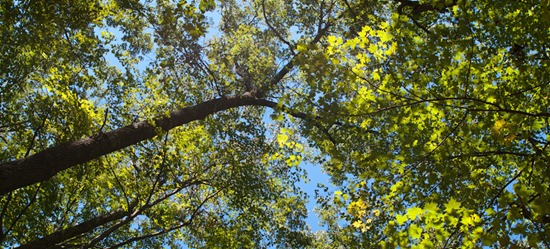
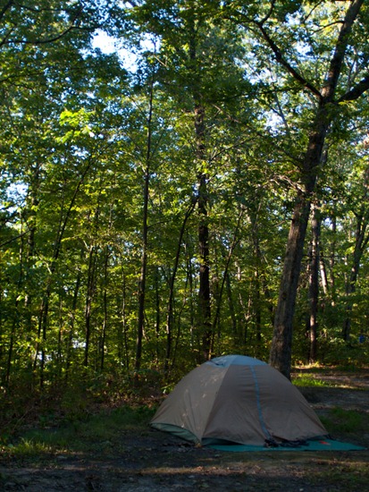
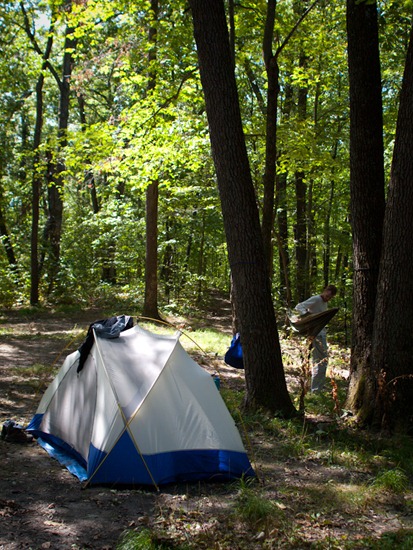
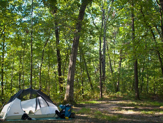
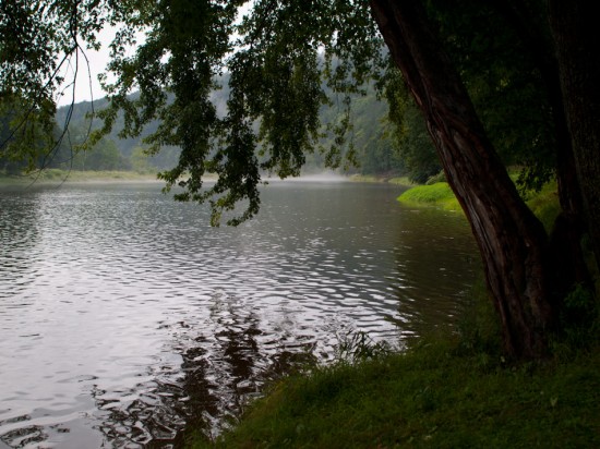
This Labor Day weekend, Jenn, Matt and I went backpacking at Zaleski State Forest, Ohio.  The forest is south of Wayne National Forest and surrounds parts of Lake Hope State Park.  Oaks appeared to be the dominate tree in the sandy soils, particularly Swamp White Oak, and, as a result, there was a constant barrage of acorns heavily thumping on the ground around us.

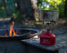
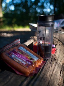
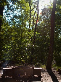
Most of the trip was dedicated to eating – I brought and ate some Johnsonville sausage over rice and washed it down with some freshly made coffee using the French press below.  Good stuff.

Camping at Zaleski State Forest - 09.05.2010 - 08.13.33

Camping at Zaleski State Forest - 09.05.2010 - 08.14.50 Camping at Zaleski State Forest - 09.05.2010 - 08.15.41

Camping at Zaleski State Forest - 09.05.2010 - 08.17.52Camping at Zaleski State Forest - 09.05.2010 - 08.18.31Camping at Zaleski State Forest - 09.05.2010 - 12.16.48

Camping at Zaleski State Forest - 09.06.2010 - 09.22.24

Camping at Zaleski State Forest - 09.06.2010 - 09.23.29