 |
 |
Daily Archives: 6 March 2011
Jennings’ Woods At Bank Maximum
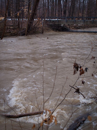
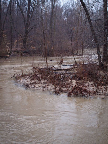
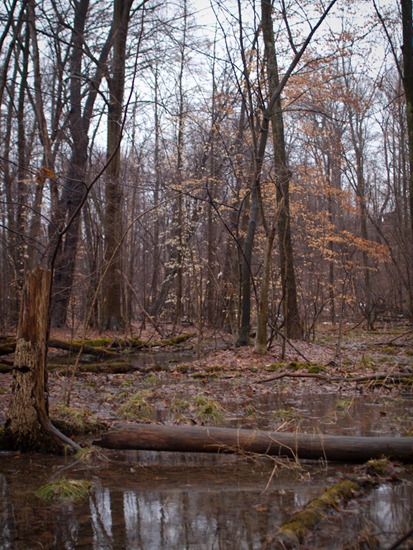
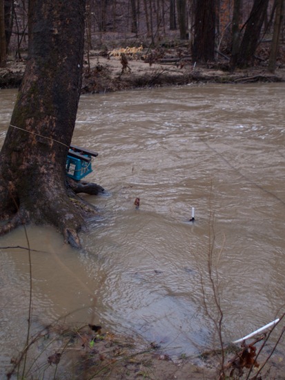
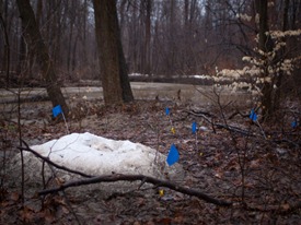
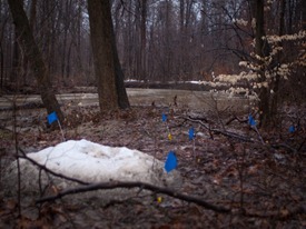
Last week’s intense rain-on-snow precipitation event caused bank overflow at Jennings’ Woods, destroying some riparian zone experimental plots. Another large rain event occurred/is occurring this weekend, and I was able to snap some photographs of the river at bank height. This corresponds with a gauge height of approximately 5 ft at the USGS West Branch of the Mahoning Station near Ravenna, Ohio. Below are a few panoramas: (1) just upstream from the McCormick Rd bridge, (2) at the second major bend, and (3) a decent way into the property, where the last of Peter’s plot were.

