
finished hiking


Lady slipper, Cypripedium sp., lined the trail on our hike south of Mt. Mitchell.

Nicole pointed out a pretty unusual insect on a water break down Curtis Creek Road. I’ve seen ichneumonid wasps depositing eggs under the bark of living trees with their massive ovipositor, and at first glance, this appeared to be another ovipositing wasp… but I think it’s a fly! Anyone know which family or lower taxonomic category?


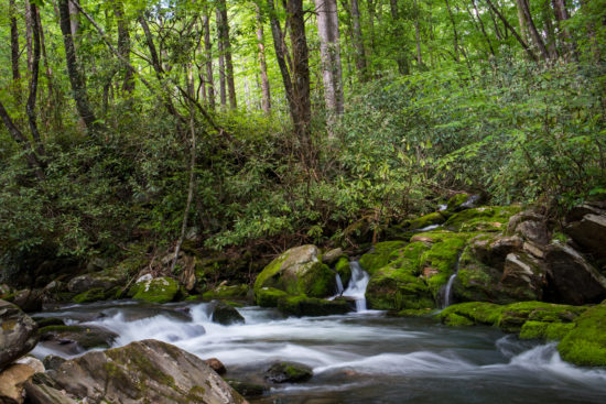


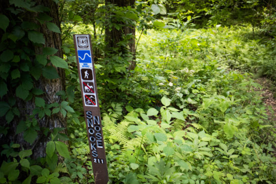
In June of 2017, Nicole, Amos and I stayed a couple of nights at Curtis Creek Campground in Pisgah National Forest, outside of Asheville, NC. On the morning of our first night, we decided to attempt to reach the Blue Ridge Parkway via Snook’s Nose Trail, which, reportedly, was about 1.5 miles to the ridge of Snook’s Nose and another 1.5 miles to the parkway.
About 1.6 miles in, we gave up. The trail, while marked as “more difficult” was quite strenuous and when we reviewed the topographic map, we realized that we had made little progress. We vowed to attempt again.
This May (2019), we attempted again. And succeeded. But it wasn’t without some struggle.
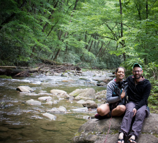
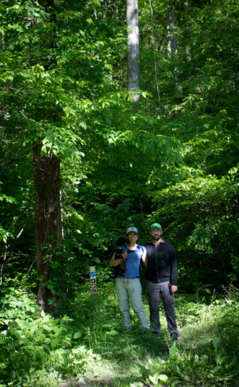
We arrived Monday afternoon from Savannah, set up camp and enjoyed some freshly made buttery mash potatoes and a sautéed mix of tuna, carrot, and onion. In the cool morning, we took some selfies to document our expected decline.
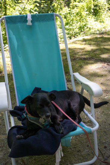
We pushed through the cardiovascularly intensive first 2 miles of the trail, ascending from 2,000 ft to about 4,000 ft, to arrive at a bald on the ridge and stopped a moment to celebrate and enjoy the view. We were all tired and a bit hot—Amos pursued some man-made shade.
A moment after documenting our success with another selfie, Nicole pointed to the ground to my left—a large, curled, timber rattlesnake glared back at us. Presumably, this was Snook’s Nose reminding us to stay humble.
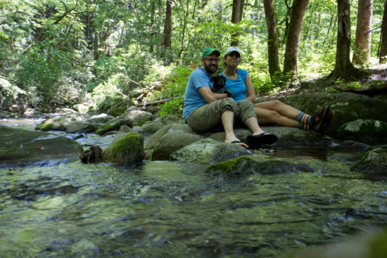
Three miles later and another 700 ft, we reached the Blue Ridge Parkway, noting that the Snook’s Nose Trailhead claimed a total length of 3.9 miles and that my GPS track reported 5 miles. We took a breath, a selfie, had some lunch, and discussed what to do next. Nicole had developed a pretty nasty blister, and the map suggested we were about half way to our original goal—Black Mountain Campground north of the parkway back down to 3,000 ft, which required another 500 ft of climbing (300 ft to the peak of Green Knob at about 5,075 ft then a few ascents along the ridge). The other option was to go back down Snook’s Nose Trail—descending 3,000 ft back to the original site but having access to the vehicle.
I convinced Nicole (and probably forced Amos) to head on to Black Mountain Campground; they have showers (and we later found that they also have ice cream) and the map suggested there was an alternative, less steep route along some forest service roads. We arrive 3.5 miles later and Amos collapsed on the picnic table.
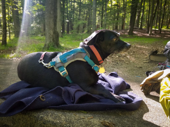
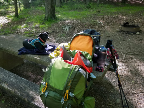
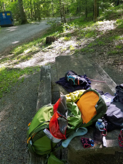
We hiked around the campground and enjoyed some relaxing riverside reading and napping the next day. After the second night, on Thursday Morning, we set out along Neal’s Creek Road for the Blue Ridge Parkway, crossed, and headed down Curtis Creek Road. While the return was certainly less impactful on the joints and cut out about 1,000 ft from the highest point, it was likely a little longer at about 9.5 miles. The last mile was quite sunny, hot, and the road was covered in sharp gravel, giving Amos a hard time. We also saw a black bear along the way!

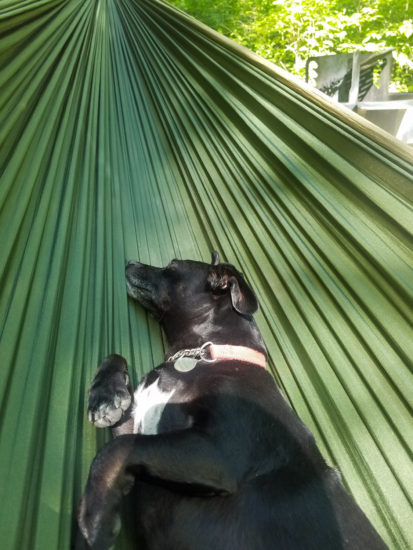
We arrived back at Curtis Creek Campground in the late afternoon on Thursday, ate, and relaxed in some comfortable seats/hammocks. We congratulated ourselves for conquering Snook’s Nose and took a final selfie… but, in the end, Snook’s Nose had one last thing to say: don’t forget to shut your damn car door—it’ll kill your battery and you’ll need to be towed to Marion for a change.
I’ve seen mixed flocks of passerines bouncing through a forest, feeding on different vertical levels and plants, but hadn’t really ever noticed it among these waders and swimmers. There were probably over 15 Double-Crested Cormorants, a few Snowy Egrets and Great Egrets, about six Brown Pelicans, and a handful of passing Royal Terns, all cruising a small marsh creek entrance as the tide approached the morning high.
Willet (Catoptrophorus semipalmatus) and some plovers (Charadrius sp.; maybe Wilson’s Plover?) hanging out as the sun rises at Little Tybee Island. The willets stood on one foot, and many of them hopped around, instead of putting their other foot in the frigid water.


